Most of the best hikes on Oahu start by jumping a fence. However, for the Stairway to Heaven jumping fences is no longer necessary. One of my favorite hikes in the world is the Stairway to Heaven on Oahu, Hawaii. Everything about this hike is attractive to me: climbing up sheer vertical cliffs, having solid reliable stairs/railings to hang on to, the amazing views all along the trek, even waking up in the middle of the night to jump fences and sneak past guards… For years, everything about this hike filled a childish Rambo/explorer fantasy for me. Regrettably, the degrading situation surrounding the access to this trail culminated in the risk of an exorbitant $1000 fine and a criminal citation. Since 2014, I have steered clear of the stairs due to the legal drama associated with it. After all this time though, I have grown to miss the Stairway to Heaven and I simply could not wrap my head around the idea of never hiking that peak again. So I jumped on Google Earth to investigate alternate access routes.
I decided to investigate the Moanalua Valley, near the Tripler army medical center. The trail begins at the back of Ala Aolani Street, just beyond a community park and playground. Although there is a parking lot there, we did not use it because a sign indicated that the gate would close around 7pm (and we had no clue how long this hike would take us). The trail begins behind a yellow gate on an old dirt road.
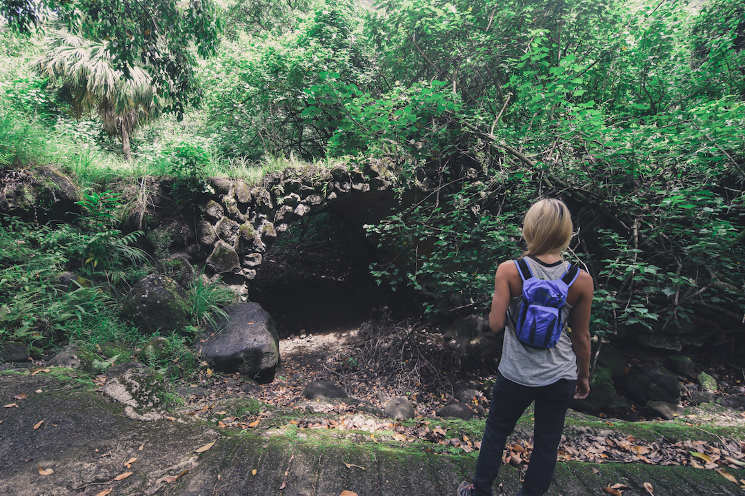
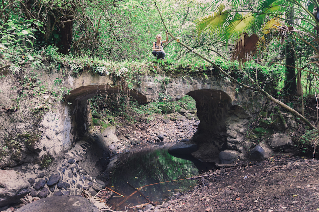
HISTORY: Moanalua Valley is culturally significant location as its ownership has passed to several of Hawaii’s monarchs and nobles (King Kamehameha I – King Kamehameha V and Princess Ruth Ke’elikolani). There are also some of the most well preserved petroglyphs hidden away in this valley. The valley changed proprietors several more times before landing in the hands of early Hawaiian business man, Samuel Mills Damon. The Damon estate supposedly built a lavish home in the valley, which he used for parties and hosting dignitaries of his time. During our hike, the only trace of a past infrastructure was the presence of these ancient looking rock bridges along the beginning of the trail.
You will need to follow this trail until the road becomes completely overgrown with trees (a couple miles in). A narrow dirt trail to the left of the road will take you around the destroyed portion of the road. You will continue until you reach a 3-way fork in the trail. At this point the path narrows significantly. You will want to cross the dried up stream bed to the left of the trail. Immediately after the stream bed you should see a small but marked trail to the right, this path will take you up the ridge. This part can be tricky if you have never been or have nobody to guide you. Taking the wrong trail will either guide you to the left or right side of the valley. You want to get on the ridge that take you right up the middle of the valley. The ridge trail begins just over 2 miles into the Moanalua valley trail.
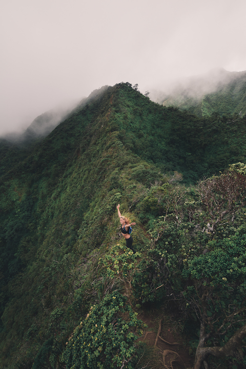
Although several other routes are possible, all them are either extremely long or crazy dangerous. The Moanalua valley ridge seemed to be the most reasonable path to the summit.
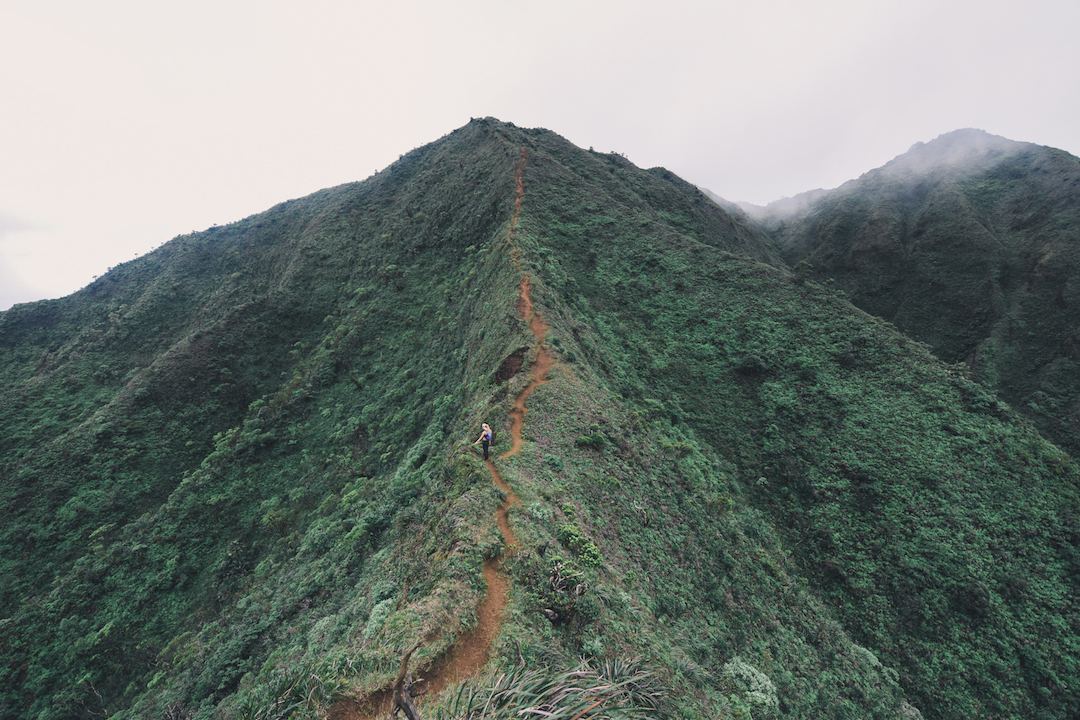
The initial incline is fierce. Every time I scaled this ridge, I felt like I was going to either have a heart attack or throw up. In the lower portion of the ridge, most of the trees and shrubs will completely block any wind or breeze from reaching you, but as you get higher in the valley the wind really picks up. As we continued up the mountain, it became apparent that this was a very well worn and established trail. We were definitely not the first to use it.
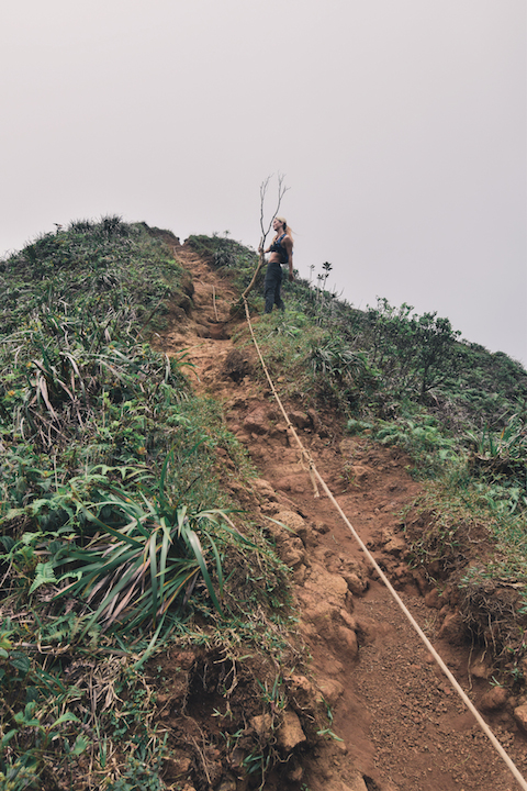
Some strategically placed ropes proved most helpful in steep areas, which seemed plagued by loose gravel.
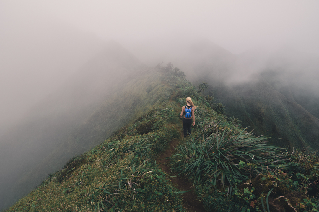
As we moved up the trail, a dense layer of clouds set in. It looked like we were hiking into Colorado the day they legalized marijuana…
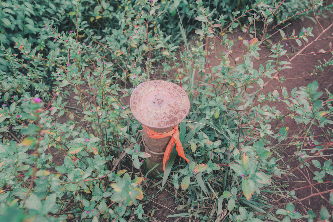
We eventually came to a three way intersection, in the middle of which was this U.S. Coast Geodetic Survey Marker. These markers are placed and managed by NOAA to designate specific coordinates for spacial referencing. Pretty sure this was the summit of Puu Keahiakahoe.
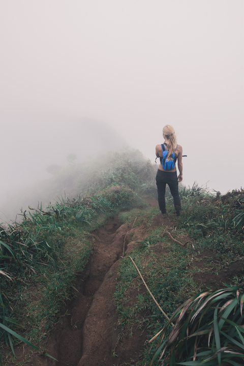
The mist was so thick, that we could not see our destination and therefore did not know if we were even going the right way. We decided to follow our hearts and took a left at the 3-way intersection.
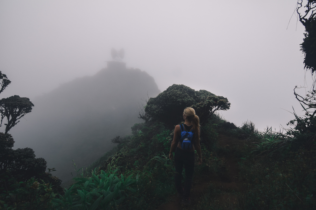
It wasn’t too long until we caught our first glimpse of the peak!
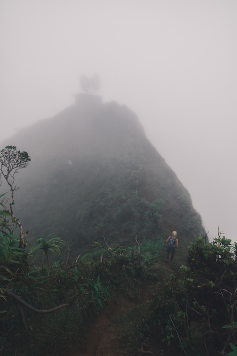
I couldn’t believe we had finally returned to the summit of Stairway to Heaven, after so many years.
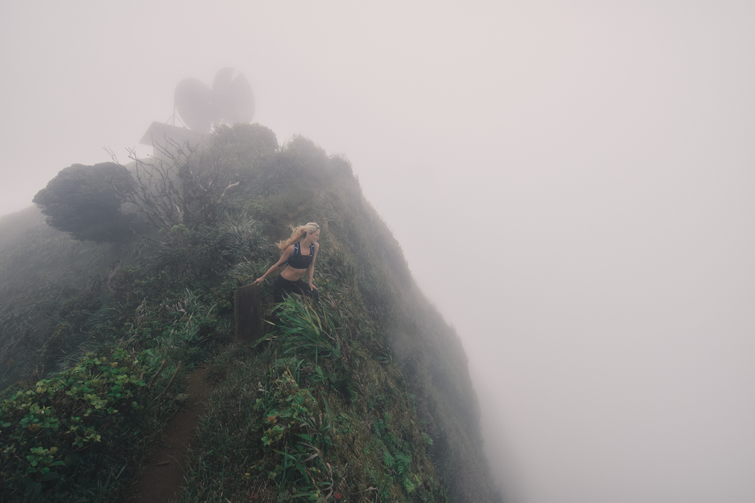
The clouds provided a false sense of security, by keeping us from seeing how high we really were. The wind was quite intense up there though.
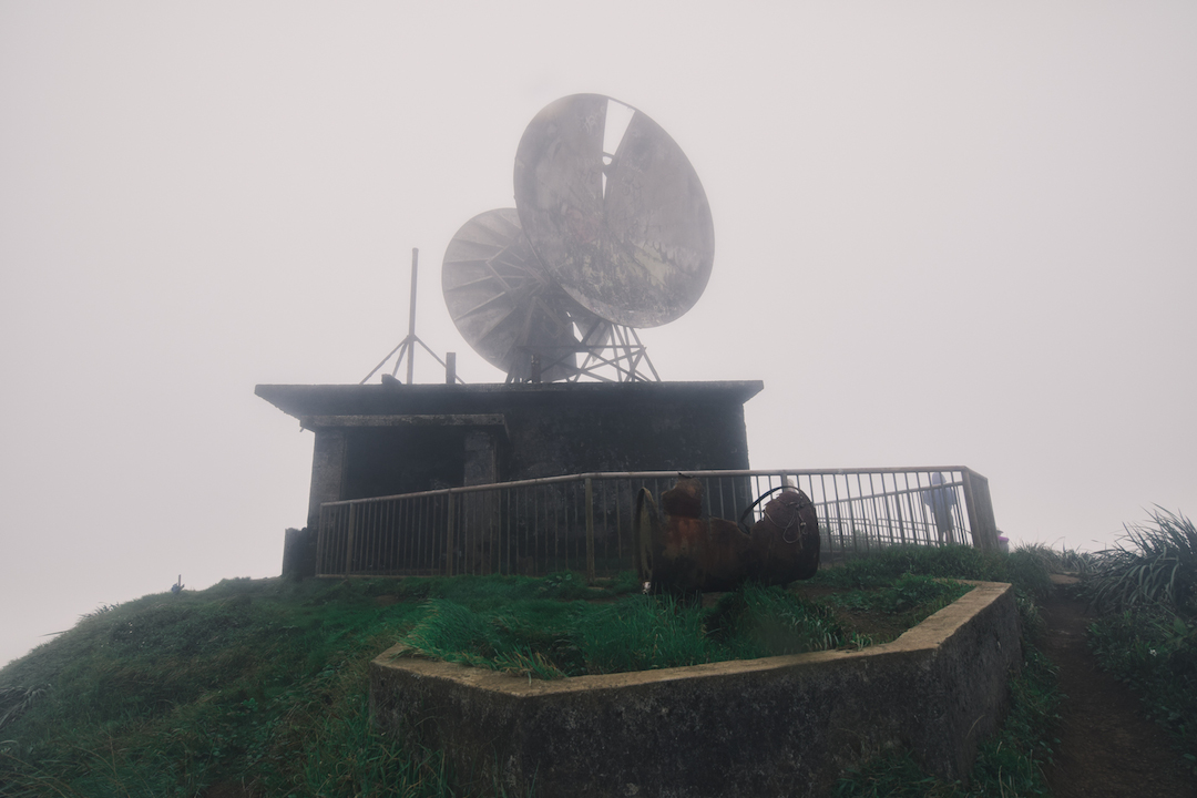
At long last! The Peak of peaks and the Summit of summits. We had reached Heaven!!!
HISTORY: This structure is a remnant of the Haiku Radio Station known as the Communication Control Link (CCL), which was built sometime between 1942-1943 at around 2725ft of altitude. Back in the day this was a top secret Navy facility used to communicate with Navy ships, which were operating across the Pacific during World War II. The station used ultra low frequencies, because they propagate further and deeper. These low frequencies required huge antennas to transmit signals. In fact, the four antennas were so long (7600ft) that they were not stood upright but rather strung across the width of the valley and held in place by immense counterweights along the narrow ridges, a real engineering marvel for the time.
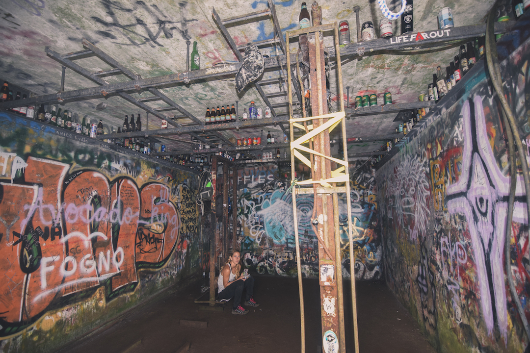
We found shelter from the gusting winds inside the old ruin. The side of our bodies that had been exposed to the wind was completely soaked, while the other was dry. Strange environment up there. We decided to pause for lunch and to warm up. Here you can see what remains of the interior of the CCL structure. An impressive collection of bottles and a hodgepodge of graffiti.
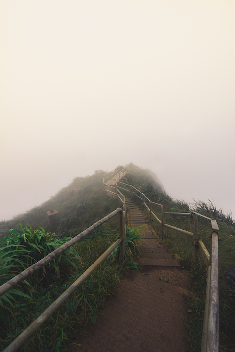
Even though the clouds were severely crippling our visibility at the summit, the view of these stairs was absolutely gorgeous to me. We decided we would go down them until the clouds cleared up, for a more scenic vista.
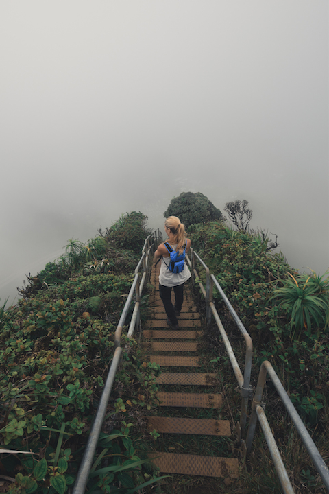
As we took our first steps on the stairs, my hands we shaking with excitement. I couldn’t believe we were finally up there again.
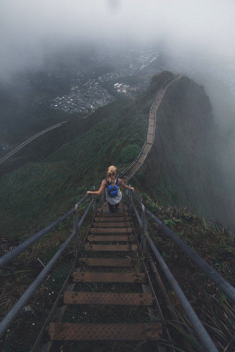
The stairs were as solid and beautiful as ever. The clouds parted for us.
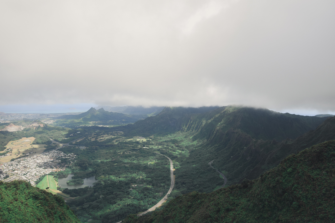
Despite the clouds, the view was still breathtaking. To be so high on such a narrow and steep ridge is such a surreal experience.
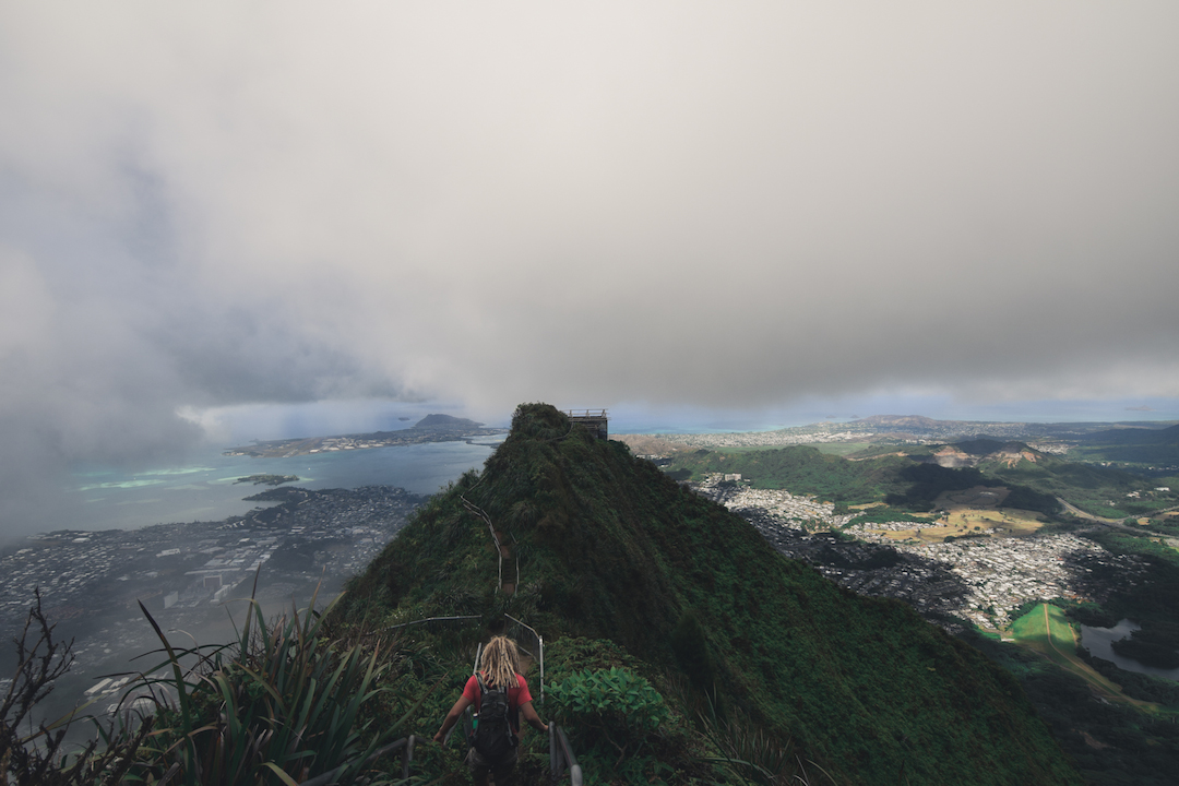
In the distance I could see the cable car house, which I had totally forgotten about. The stoke took over and I darted down the stairs to it.
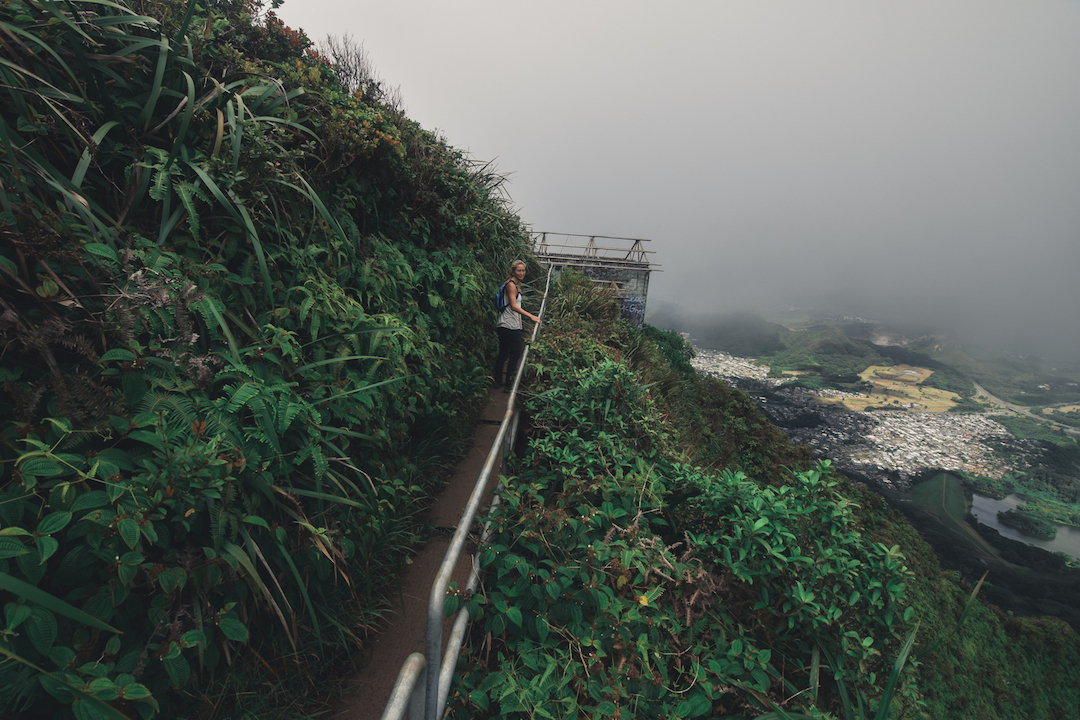
Amazing to think that it used to be someone’s job to work up here everyday.
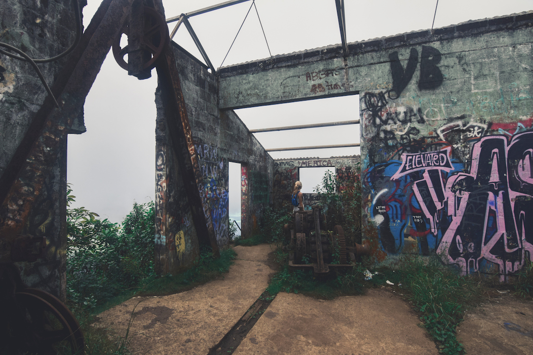
Although the roof was removed, because it contained asbestos, most of the structure still remains intact (aside from weathering and graffiti). It’s like an abandoned museum.
HISTORY: The cable car house was installed to ease the transport of heavy materials, as well as personnel up and down the ridge.
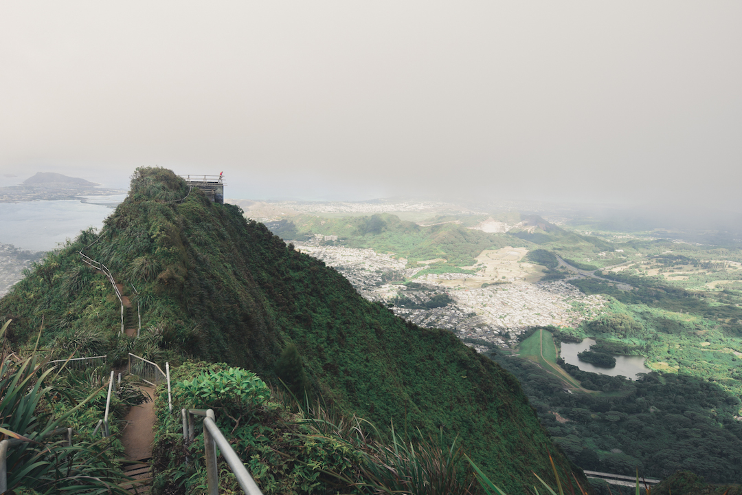
It was time go and make our way back, but I was not ready to leave. I sat on the roof of the cable car house (I look like a little red dot in the distance) just wondering how long it would be till I could return up there.
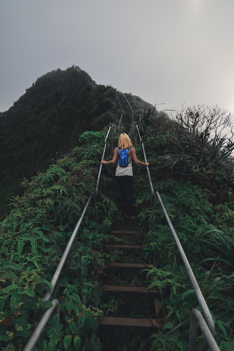
I was still in disbelief that we were actually on these crazy stairs on the side of a cliff.
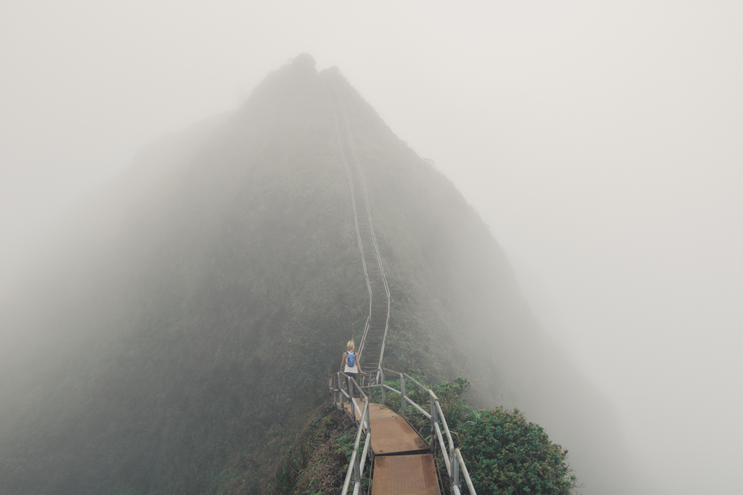
I couldn’t help but imagine how difficult it must have been for the first pioneers to scale this ridge before there were any stairs.
HISTORY: The first two men to ever climb this ridge, before there were any stairs or ropes, were Bill Adams and Louis Otto. The government had reached out to find some expert scalers for the project and found that Bill and Louis were both working in Pearl Harbor at the time. The two men had previously been involved in projects with the Hoover Dam. The duo were only supplied with spikes and hammers. The two men would climb as high as they could and once they could no longer climb any higher, they would drive spikes into the substrate and continue their assent. Meanwhile at the bottom, simple wooden ladders were being assembled and attached to the spikes placed by Bill and Louis. The two pioneers continued yo-yoing up and down the ridge, collecting spikes and wooden ladders to continue their climb to the summit until they finished. Bill and Louis charted a path and nailed ladders all the way to the summit in just 21 days.
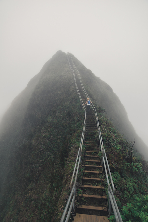
HISTORY: The original stairs were all wooden, a few of which can still be scene near the bottom of the mountain as they were simply thrown aside during the renovation of the steps. The modern day galvanized steel stairs were designed by the architect Daniel Carnes and are comprised of 3922 steps. In 2003, the stairs were completely renovated for the intent of opening them to the public. The project cost just under $900,000. Yet, the stairs have remained off limits to the public ever since.
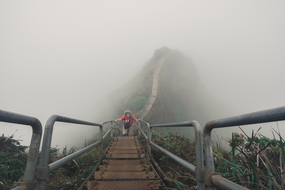
In some areas the railings are only 18 inches apart from each other. However, every stair and railing I touched was sturdy with not even a single wobble or sign of loosening. It’s so sad that such an amazing monument exists on our Island and yet the powers that be cannot get their act together to open it to the public and properly manage it. I’ve said it many times, I would be willing to pay a reasonable fee to legally climb these stairs from the base to the summit and back. The state is literally sitting on a huge cash cow with these stairs but letting a few grouchy residents boss them around. For years they have come up with every kind of excuse to keep these stairs off limits (like they do with many other hikes on Oahu), but none of them hold any water.

For now I am just glad they haven’t destroyed the stairs. As long as they are still standing on the mountain, their is a smidgen of hope that they will someday be opened to the public.
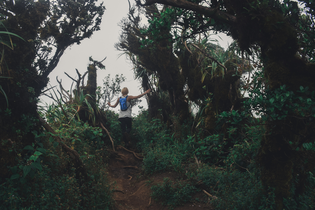
The summit was full of dense but beautiful vegetation. Ie ie were growing around nearly every trunk.

This indigenous plant know as Ie’ie in hawaiian, is a member of the Pandanaceae family. It was extremely abundant along the ridge. This plant was frequently used by ancient Hawaiians for making baskets, fish traps, helmets, feather capes as well as offerings at hula alters.
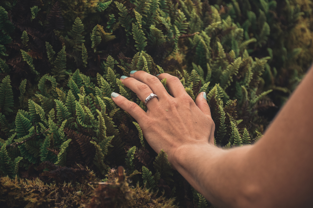
There ferns were ubiquitous and did not seem to care where they grew along the summit ridge.
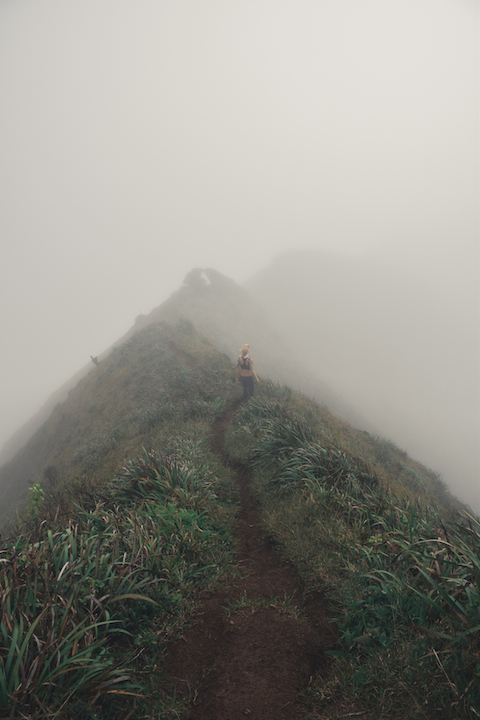
Darker clouds settled in on us during our descent and the winds picked up again…
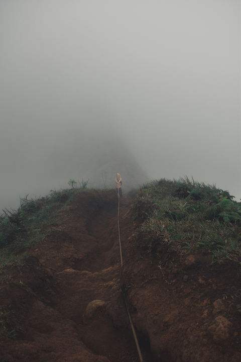
Our eagerness for the summit had turned the entire trek up the ridge into a blur of excitement. We had completely forgotten all the obstacles we had surmounted and completely lost track of the time we had spent hiking up and around the summit.
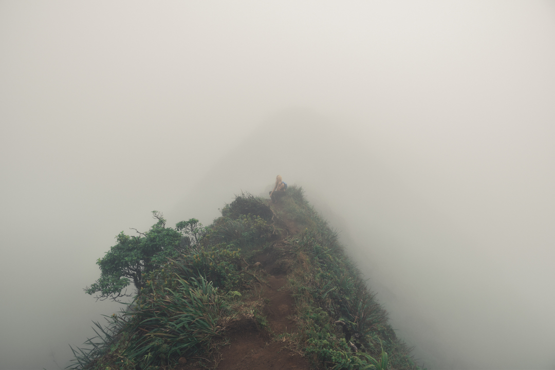
Taking a quick break is sometimes the best course of action when your legs are tightening up.
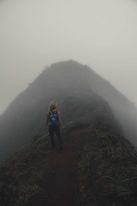
We began feeling cold droplets. There was no shelter at this point, we had no choice but to continue in the rain. It actually started coming down really hard so I had to put the camera away for a bit.
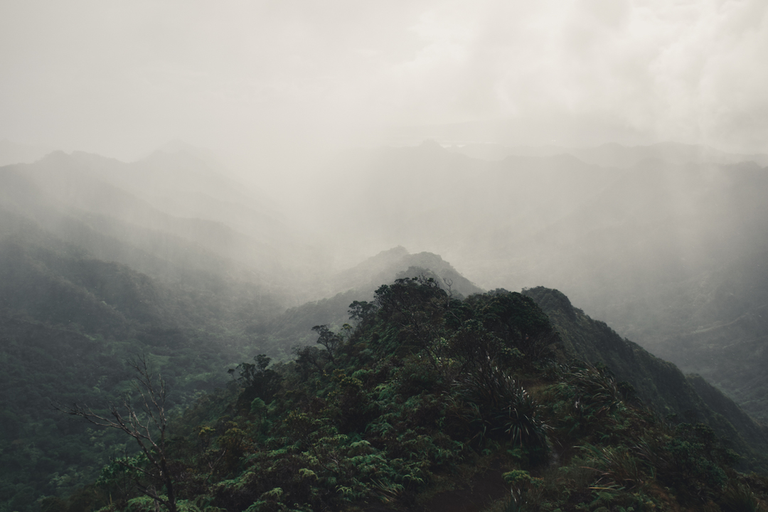
Eventually the rain passed us by and blanketed the entire Moanalua valley. Even though we were soaked, it was an awesome experience and fantastic glimpse of nature.
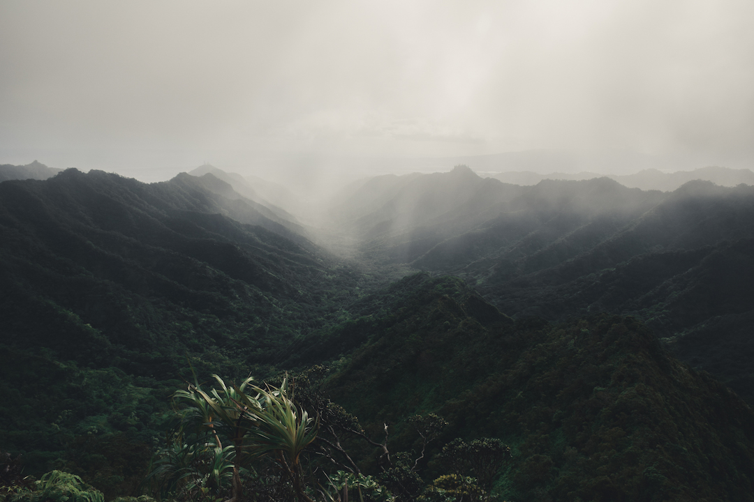
The trail was now quite muddy and slick, but we were happy to see the rain blow away.
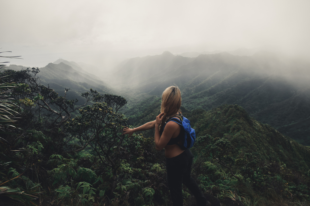
Such an amazing valley.
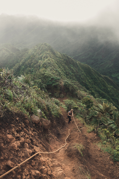
I had completely forgotten the countless ropes we used to climb up, but I was sure grateful for them. Whoever goes hiking with tons of heavy rope for the purpose of improving trail accessibility, you are the true MVP.
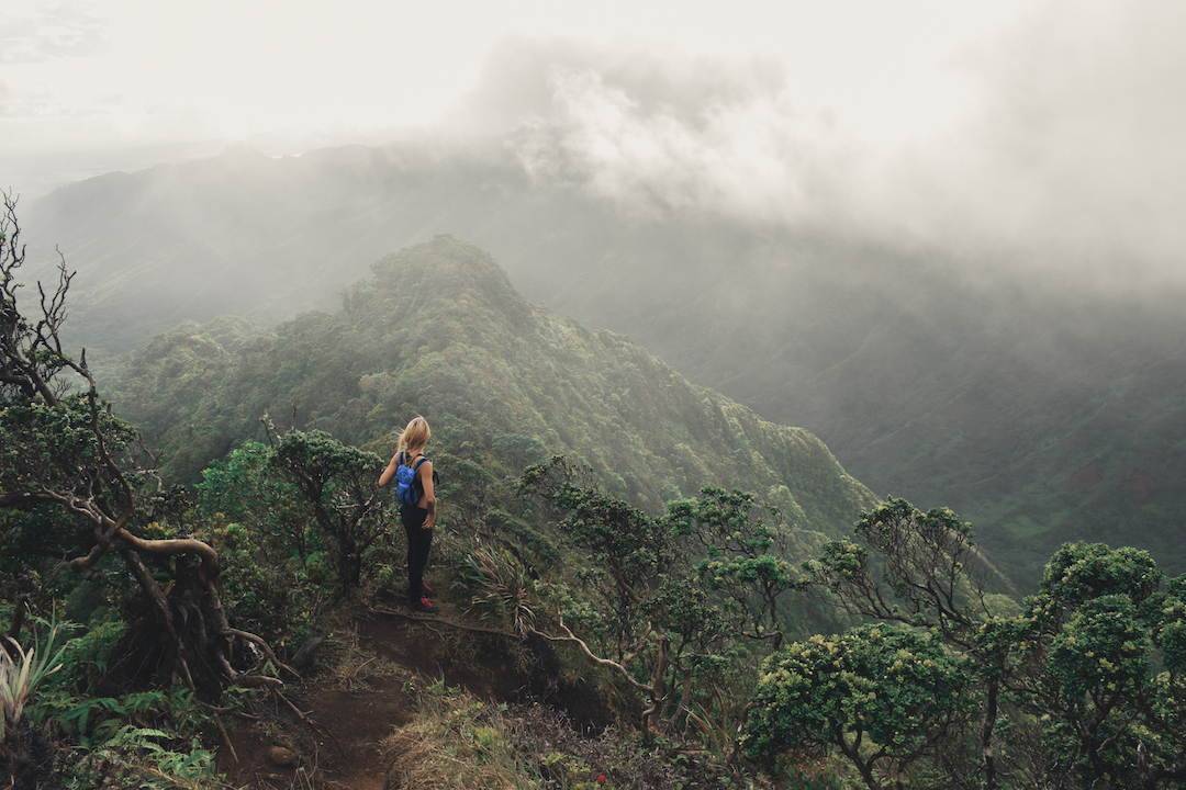
The way down was long and our legs were shot.
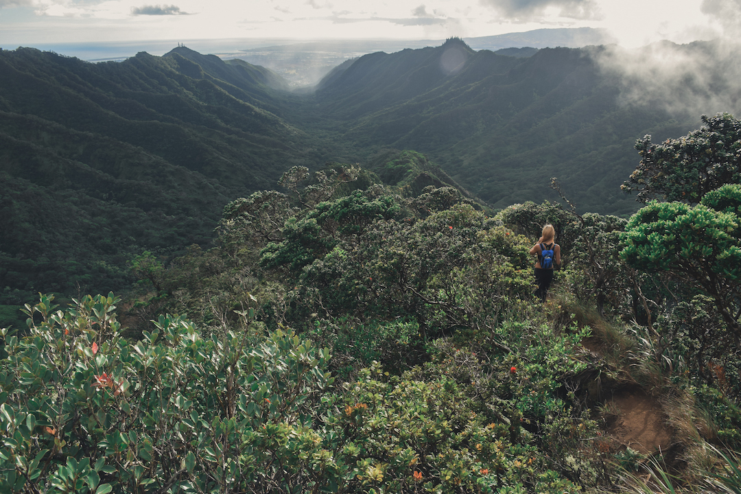
Ohia trees were everywhere!
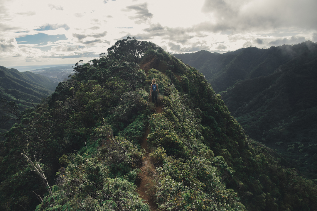
Although the clouds were still present, we were finally catching a few rays of sun.
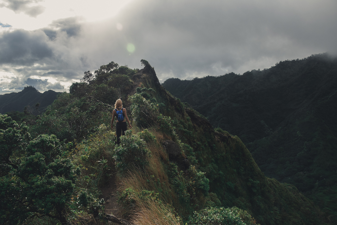
We were really excited about finishing the trail before dark, something we were not sure would be possible when we started the hike.
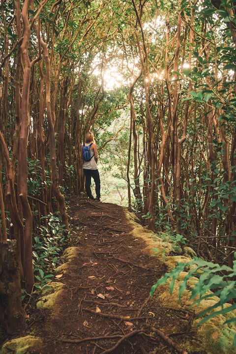
A brief glimpse of the sunset through strawberry guava trees was the most we saw of the sun that day. But every moment on that mountain was beautiful. This was one of the longer hikes I had done on Oahu. Definitely pack plenty of snacks and water, it will really help to boost morale. I believe we covered just over 9 miles and had a net altitude gain of around 2500ft. The hike took around 7.5 hours, however we did spend about an hour resting for lunch and goofing around with our cameras at the top. It’s not an easy hike, but it is beautiful and a great alternative to the illegal way of climbing the Haiku Stairs. Happy hiking and stay safe!

If you’ve got time for one hike, and you’re deciding between the waterfall hike you recently posted, or this back way to Stairway, which do you choose?
Well this hike will take you about 8 hours (give or take). The waterfall hike I posted before this is probably 1.5 hours roundtrip if you really moving. So I guess it depends on how much time you have and the weather. The mountain pass to heaven would be rough if it was consistent downpour, whereas the waterfall hike would be good in any weather. Tough choice. Have you done Ka’au crater (not on my blog yet)?
Gonna be on the island for ~5 days, and 1 or 2 of those spent hiking. Memories and photos are a priority. Haven’t been to the crater.
Awesome! Well I hope you have a great and safe time exploring Oahu
I’m really enjoying your blog and pictures.
Thank you! It’s nice to hear someone else is reading it beside myself 😛
This hike looks amazing! And I’m certain that I’m way out of shape to tackle it without solid time in the gym. Ha! So I’ll live vicariously through you. Thanks for sharing!
This hike makes everybody feel out of shape lol. But with sufficient determination (and plenty of water), it’s doable. It would be so sick if you and your bros came down to do it someday!
Wow! Amazing views
Thanks! We loved it up there.
Please take me there! I heard you can easily get lost on that route😟
It’s definitely on my bucket list. Thanks for sharing all that history and awesome pictures.🤙🏽