People who have hiked with me for any significant amount of time (and followers of the blog) probably know that abandoned WWII infrastructure holds a special place in my heart. When I heard that there were still pillboxes and bunkers on the Island that I hadn’t been to, I knew I needed to find them.
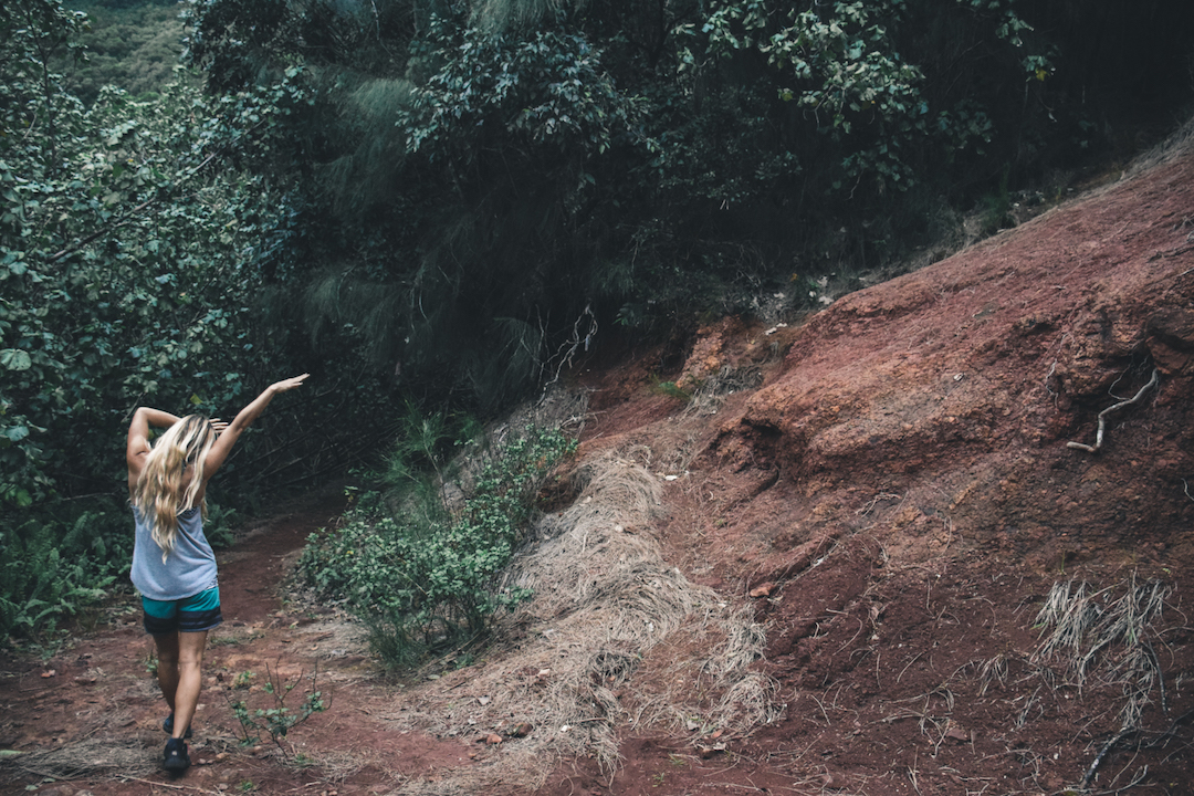
As the title implies, these “bunkers” can be found on the Kaipapau ridge, near Hauula. The trailhead can be found at the end of Kawaiipuna St, at the end of the paved road. The actual trail begins just after you walk passed the large water tank, and is only about 2.5 miles roundtrip. Within the first few minutes you will need to turn off of this main trail to make your way up the ridge. This junction is not particularly well marked, but pretty easy to distinguish (in the above photo) as a cleared red dirt slope. If you miss this turn the trail will take you into the valley and all the way to Kaipapau falls, which is beautiful but a much longer hike (about 8.5 miles round trip).
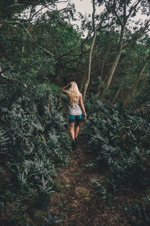
As yo make your way up the hill, you will pass through some dense areas of forest where the canopy nearly blocks out all the light. Musky ferns were pretty abundant in certain sections of the path.
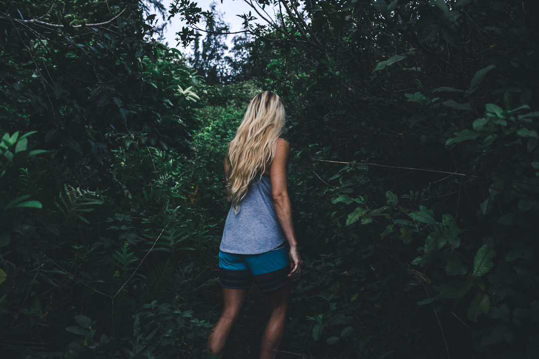
Shorts and sleeveless shirts seemed like a good idea, but the overgrown parts of the trail were a bit rough on the exposed skin. We may just wimps though; some of you would probably just consider it exfoliating…
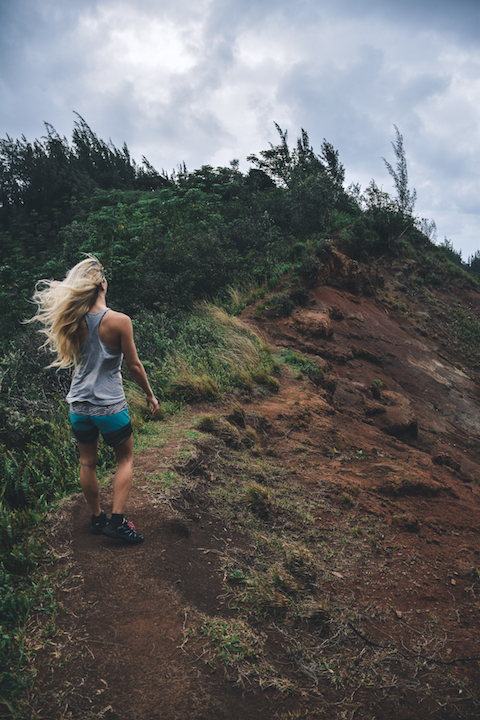
The trail opens up a bit more once you get to the top of the ridge. When you arrive at the top of the ridge it is imperative that you turn right (Makai), to reach the bunkers. Only God knows where you will end up if you turn left. I knew a guy …who knew a guy …who knew another guy …who went left… Some say, he still wishes he had gone right to this day…
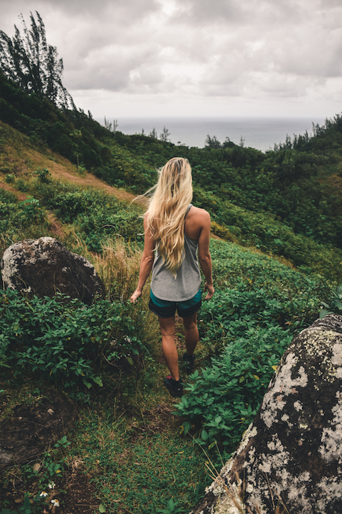
The lush greenery at the top of the ridge is beautiful and feels totally different from the jungle you experience if you hike through the Kaipapau valley.
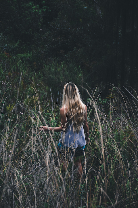
Beware the tall grass… It WILL poke you in the eye…
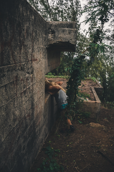
Around 30 minutes into our nature walk, we came across our first structure.
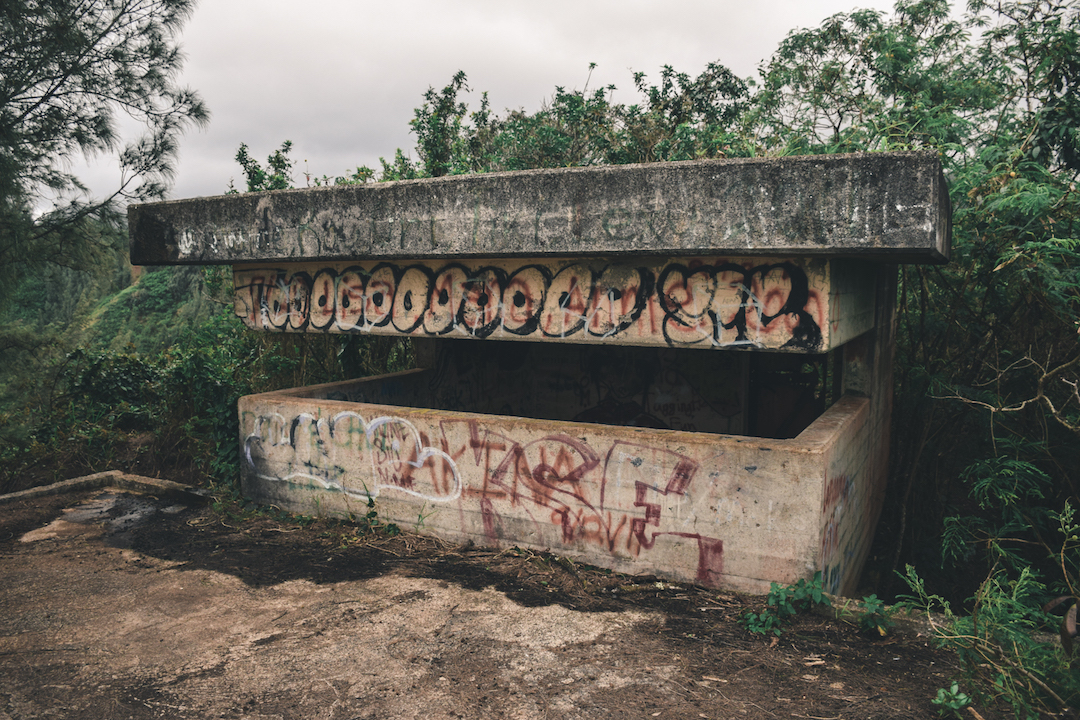
The outpost had a small observatory at it’s highest point. You could likely only fit 2-3 people in there comfortably.
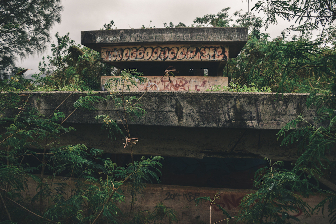
This structure was two tiered, which is not unique to that location, but kind of rare on the Island. The two sections did not share a corridor or ladder to transfer between. If staff wanted to transfer from one compartment to the other, they would have had to walk outside to access the other level; a prospect which would have left them very vulnerable if they were being suppressed by enemy fire (If anyone has any insights as to why these building did not have internal passageways between sections, I would love to hear them in the comments).
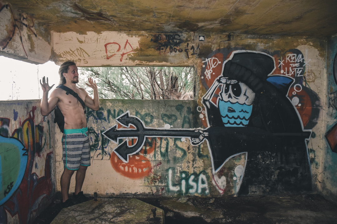
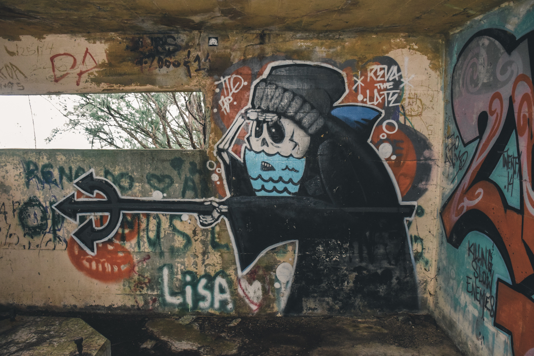
This “bunker” was obviously not completely forgotten to time. Its walls were adorned with a gallery of artwork from legions of urban artists that must have discovered its walls.
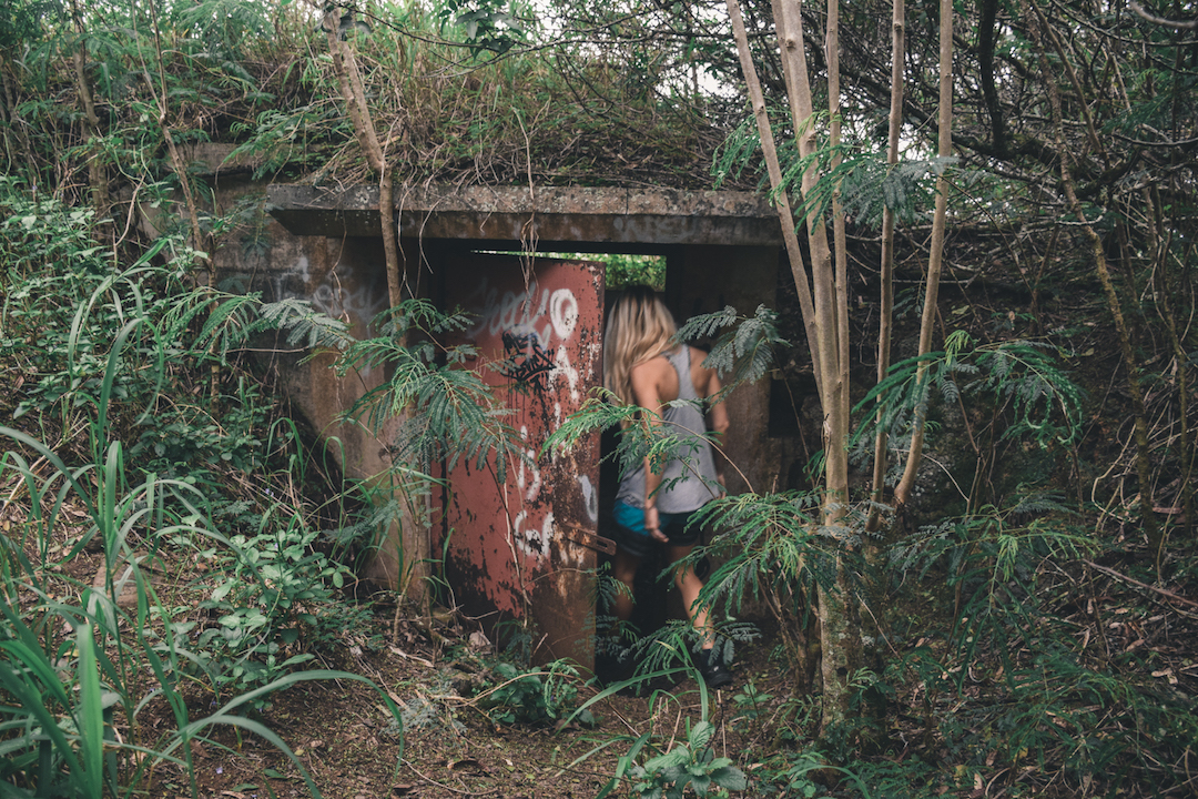
A few minutes further down the trail, we came across another small pillbox.
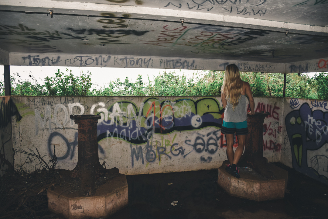
Although overgrown, it would have had am amazing view of the windward coast a few decades ago. People often believe that these mounts were used for holding heavy weaponry, when they were actually mounts for rangefinders and azimuth instruments.
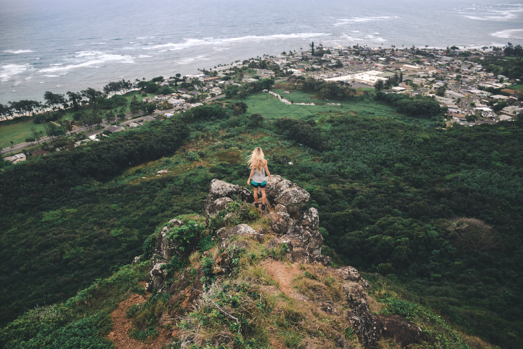
Going beyond the last pillbox, the trail will reach its terminus at a steep cliff. From there, you will have a great view of the Kokololio beach park as well as the Hau’ula.
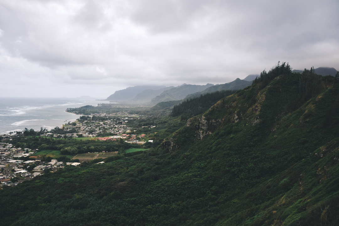
I’ve long had an affinity for the mountains on the windward side; there steepness and proximity to the ocean has always reminded me of Jurassic Park.
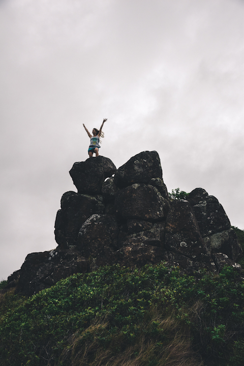
As much as we wanted to go straight down the cliff and find a shortcut to out car, the forest is too dense and there are no trails leading back out to the main road from there. So you will need to turn around and head back to the way you came. All in all, this trail took us 1.5 hours, but could be done more quickly (we were taking our sweet time). This is a very fun hike, but pay attention not to miss your turns or you will end up doing a much longer hike than you are planning for. There is street parking on Kawaiipuna St., but this is a very local residential neighborhood so please be discreet and respectful of the residents. All it takes is a few bad apples to get these hikes shutdown for all of us. Have fun and be safe!!!
I was not able to find much information on this installation. However, drawing on past “research” I’ve done at other abandoned sites, I can tell that these pillboxes were a part of Oahu’s coastal defense system. As such, these structures would have served as fire control stations in the Kokololio military reservation. This facility was sometimes referred to as fire control station “M” and is suspected to have been built in 1939. The job of soldiers stationed at this emplacement would have been to transmit range and azimuth information of potential targets to a plotting facility. In turn, the plotting facility, which would have probably been in close association with a gun emplacement/battery, could have engaged the target if it was identified as hostile. I typically try to find some historical information about every abandoned military outpost I explore, but i could only find very limited information about these pillboxes. If you know of any sources or have any additional information on this installation that I could use to update this post, I would love to hear about it in the comments.
I’m in love with you… Great photos Mr.
I love you too LOL
I lived in one of those houses in your picture and would hike to those bunkers all the time as a kid. 20 years later, I’m taking my own kids on this hike in a few weeks. Thanks for reminding me how to get up there, as I’m sure the trail has changed since then.
I’m glad you found it helpful. It’s a super fun little adventure. I would love to hear how the place has changed in the last 20 years once you done it.
We went left for an hour and found lilikoi, strawberry guavas, mountain apples, white ginger, and lots of beautiful vegetation. It was a garden of eden! So going down a road less traveled/wrong trail was rewarding. We hiked to the bunkers on another day!
Oh bummer, I’m sorry you didn’t find it. I hope you have better luck next time. It can be a little tricky sometimes to spot the trail, especially if it has become overgrown. I’m glad to hear you made the best of it though.
Love your write up, and I used it as a guide when I hiked this just yesterday, Feb 19 2021. But, you missed a bunker / pillbox; there is one more past where you stopped. In the last pictures where you’re standing at the rocks, see the very steep path to the left? If you continue past these rocks, and be careful not to slide down the muddy path, there is one more pillbox down here that you walk onto. The only was in is from the top. I climbed down into it, and unlike the other ones, this one did not look like many people have been in it, as there wasn’t any graffiti…just a signature.
That’s awesome!!! I’m stoked that you found it. That’s so cool that you discovered an additional installation. I will have to go back sometime to look for it. Great find!